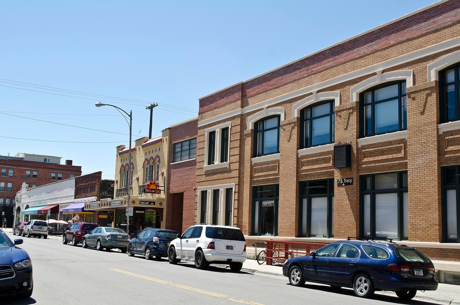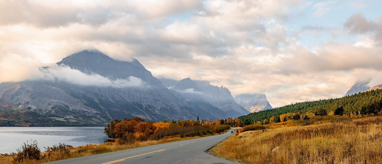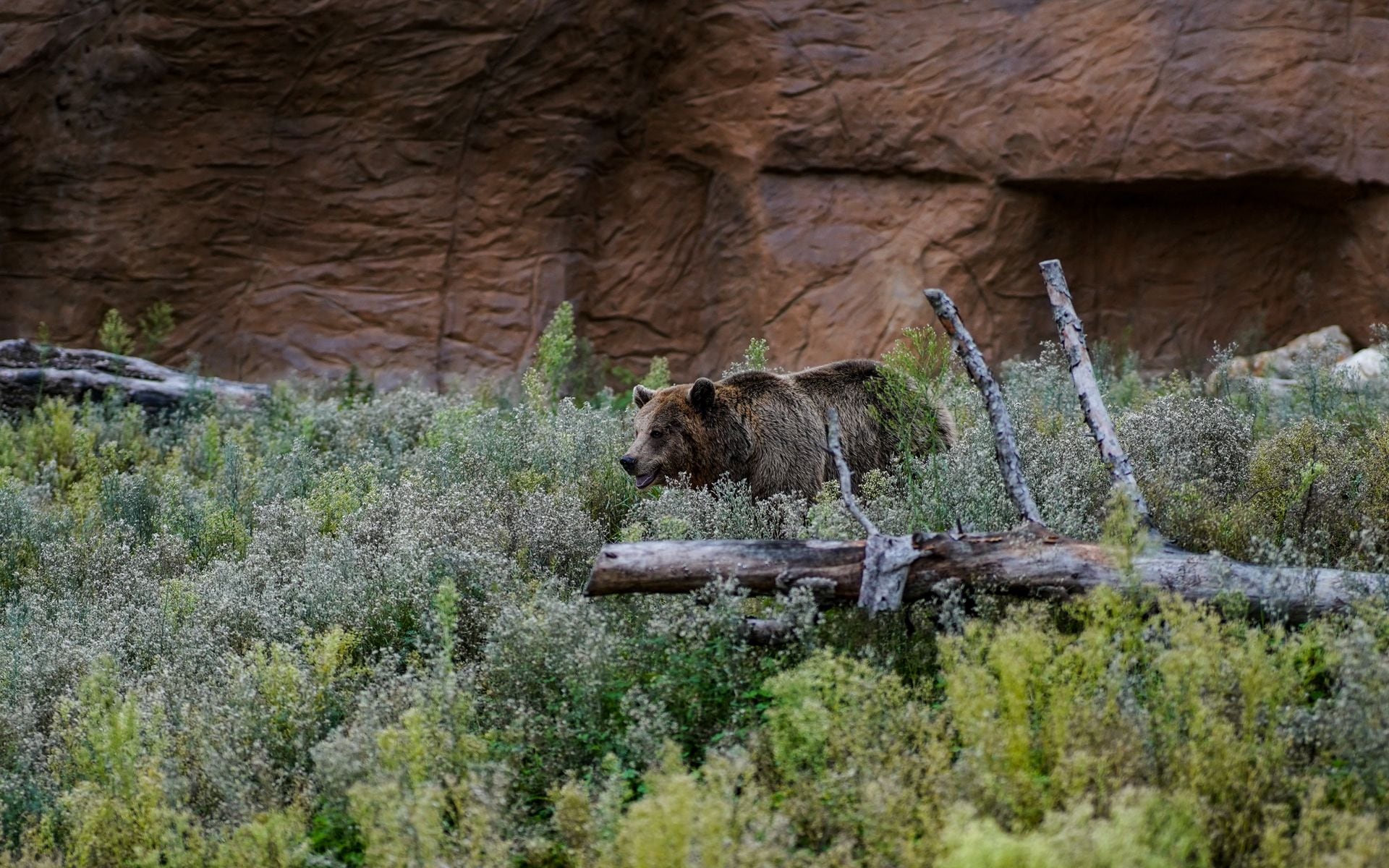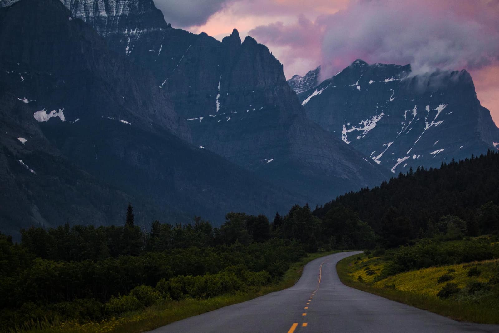
Montana is roughly 550 miles across at its widest point, and the best places to visit in Montana sit at different corners of that map. Glacier National Park anchors the northwest. Yellowstone’s Montana gateways are in the south-central region. Flathead Lake stretches through the middle of the northwest. Billings, Bozeman, and Helena are each hours apart by car. Knowing which destinations to prioritize, and what each one actually delivers, keeps you from the most common Montana mistake: trying to see everything in a week and ending up exhausted and behind schedule at every stop. This guide covers the places that earn their position on a serious Montana itinerary.
Glacier National Park
Glacier sits in the northwest corner of Montana, 6 to 7 hours from Bozeman and roughly 3 hours from Missoula depending on your route. The park covers more than 1 million acres, shares a border with Canada’s Waterton Lakes National Park, and holds around 26 named glaciers, down from 150 in the early 1900s. The 50-mile Going-to-the-Sun Road is the main visitor corridor. It crosses the Continental Divide at Logan Pass at 6,646 feet and is typically fully open from late June through early October, though the exact window shifts every year with snowpack.
Glacier uses a timed vehicle reservation system for peak hours on the Going-to-the-Sun Road corridor. The specific system changes year to year, so check nps.gov/glac before you finalize plans, not just at the start of the summer.
This park rewards hikers willing to leave the road. The Highline Trail runs north from Logan Pass along the Continental Divide with sustained views. The Grinnell Glacier trail from Many Glacier is 7.6 miles round trip and one of the more direct ways to see what the park is losing to climate change. Mountain goats range the Logan Pass area and are reliable. Grizzly bears use the whole park. Carry bear spray; in the backcountry it is required, and everywhere else it is a reasonable precaution.
Base yourself in Whitefish or Kalispell for the west entrance, or the community of St. Mary for the east side. See our Glacier Country guide for where to stay and what the surrounding region offers.
Yellowstone’s Montana Gateways
Most of Yellowstone lies in Wyoming, but Montana claims three of its five entrance towns, and those towns shape how the park actually feels once you’re inside.
Gardiner is at the north entrance, the only one open by road year-round. It has gas, groceries, and basic lodging, plus a main street that hasn’t fully given itself over to tourist retail. Drive 5 miles into the park and you’re in the Lamar Valley, one of the most reliable wildlife-watching corridors in the lower 48. Bison herds use the valley floor year-round. Wolf packs are active in winter and early spring and spotted regularly by visitors who stop and scan with binoculars. Bears and pronghorn use the valley in different seasons. If wildlife watching is the priority, enter through Gardiner.
West Yellowstone at the west entrance has more lodging options and is the fastest access to Old Faithful and the main geyser basins.
Cooke City, at the northeast entrance, sits 3 miles from the park boundary and requires driving the Beartooth Highway from Red Lodge, a 68-mile route that climbs to 10,947 feet. See the section below on what that drive involves.
For the breakdown of what you’ll find along each entrance route, see our Yellowstone National Park guide.
Bozeman
Bozeman is the fastest-growing city in Montana and the most practical hub for the south-central part of the state. Bozeman Yellowstone International Airport (BZN) connects to more cities than any other airport in Montana. The downtown is walkable, with a real restaurant scene and enough life after dark that it doesn’t feel like a transit town between larger places.
Bridger Bowl ski area is 16 miles north of downtown on Bridger Canyon Road. Big Sky Resort is about 50 miles south via US-191. The Gallatin River runs alongside US-191 for much of that drive and is one of the more visible blue-ribbon trout streams in the state.
For visitors flying in for Yellowstone, Bozeman is the standard staging town. For fly anglers, it’s the closest major city to the Madison, Gallatin, and Yellowstone rivers. For skiers, it splits the difference between Bridger Bowl (steeper, less crowded, genuinely local) and Big Sky (the most skiable vertical in the country, and busy in peak season). Our Yellowstone Country guide covers the full scope of what the region offers beyond the park.
Flathead Lake and Whitefish
Flathead Lake is the largest natural freshwater lake west of the Mississippi: 28 miles long, up to 15 miles wide, and cold and clear through the summer. The east shore highway, US-93, runs past cherry orchards in mid-July, state park campgrounds, and small marinas. Polson anchors the south end of the lake. Bigfork, at the northeast corner, has a short main street and a summer theater that has operated continuously since 1938.
Whitefish is 25 miles north of Kalispell and about 20 miles from Glacier’s west entrance. Whitefish Mountain Resort runs through the ski season with a mix of terrain that works for most skill levels. In summer, Whitefish functions as a Glacier base without the resort-town feel that some gateway communities develop. The restaurants are genuinely good, and downtown has enough independent shops and coffee roasters that it holds interest even on a rest day.
The Beartooth Highway and Red Lodge
Red Lodge sits at the base of the eastern Beartooth Mountains, about 60 miles south of Billings on US-212. It has gas, a grocery store, several restaurants, lodging, and Red Lodge Mountain for winter skiing. It’s a useful town rather than a tourist show.
From Red Lodge, the Beartooth Highway runs 68 miles west to Cooke City, crossing into Wyoming and back, and topping out at Beartooth Pass at 10,947 feet. This is one of the highest paved roads in the country. The typical opening is around Memorial Day; the typical close is mid-October, though both vary with snow year to year. Our complete Beartooth Highway guide covers the timing, road conditions, and what to plan for along the route. Build in 3 to 4 hours for the drive with stops, and account for afternoon thunderstorms that build fast on the high plateau in July and August.
If you are entering Yellowstone through the northeast entrance at Cooke City, drive the Beartooth rather than taking the direct highway from Billings. The added distance is worth the approach.
Missoula and Western Montana
Missoula sits where the Clark Fork, Bitterroot, and Blackfoot rivers meet, and it carries a more urban feel than its population of 75,000 suggests. The University of Montana anchors the south side of town. The Clark Fork Riverfront Trail runs through downtown. Independent bookstores, coffee shops, and a solid food scene reflect the university-town character.
For travelers, Missoula is most useful as a transit point or a base for the Bitterroot Valley, the Rattlesnake Wilderness just north of downtown, and the drive north toward Flathead Lake. It’s also the closest city to the Bob Marshall Wilderness, though reaching the wilderness itself requires a trailhead drive of an hour or more. Missoula’s airport (MSO) connects to Seattle, Salt Lake City, Denver, and several other western hubs.
Eastern Montana: Little Bighorn and Makoshika
Most Montana visitors spend their time in the national park corridor in the west and skip the eastern two-thirds of the state. The driving distances make that understandable. But two sites in the east are worth a detour if your route allows it.
The Little Bighorn Battlefield National Monument near Crow Agency is about an hour southeast of Billings on I-90. The 1876 battle was fought across rolling prairie that still looks largely as it did. The NPS visitor center gives a thorough account from multiple perspectives, including the Lakota and Cheyenne sides of the fight. The site is serious and worth the time.
Makoshika State Park near Glendive is Montana’s largest state park. The exposed badlands hold triceratops and tyrannosaurus fossils and look nothing like the mountainous west of the state. It is genuinely quiet: almost no one drives four hours east of Billings for it, which means you often have the trails to yourself.
Getting to Montana’s Best Places to Visit
By air: Bozeman (BZN) is the main hub for Yellowstone Country and Big Sky. Missoula (MSO) and Glacier Park International in Kalispell (FCA) serve the northwest. Billings Logan International (BIL) covers the east. Helena (HLN) and Great Falls (GTF) are smaller central options.
Ground transport: Renting a car is not optional anywhere in the state. There is no statewide transit network, and distances between major destinations are long. Bozeman to Glacier is 6 to 7 hours. Billings to Glacier is most of a day. Build your itinerary around your base airports, and decide early which region you are prioritizing.
When to go: The main travel window is late June through early September, when Going-to-the-Sun Road is fully open, river levels drop from spring runoff, and mountain passes stay clear. September cuts crowds noticeably after Labor Day and brings the elk rut, with bugling audible at dawn in river valleys across the state. For a month-by-month breakdown, see our best time to visit Montana guide.
Montana rewards planning proportional to its scale. Decide which region matters most, book lodging early for peak summer, and give yourself more drive time than you think you need.