What to Expect
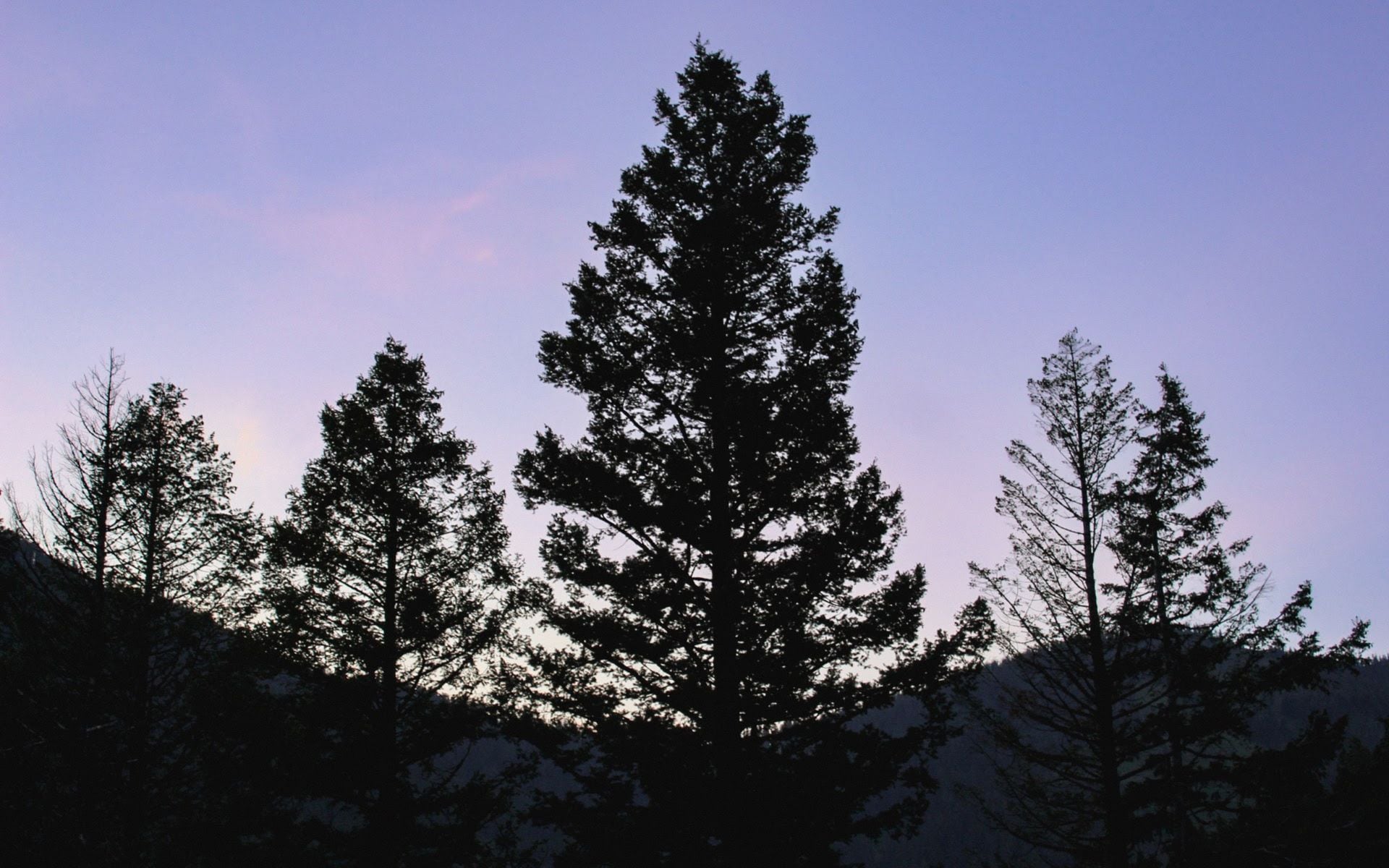
Missoula is not a resort town. It's a real city of around 75,000 people anchored by the University of Montana, with a walkable downtown on Higgins Avenue, a river cutting through the middle of it, and mountains close enough that you can see the large "M" painted on Mount Sentinel from almost anywhere downtown. The Clark Fork shapes daily life here: kayakers surf Brennan's Wave a few blocks from coffee shops, trail runners use the Kim Williams Nature Trail along the south bank before work, and locals measure seasons by when the water is runnable.
Five valleys meet at Missoula, which gives it an unusual geography. The Bitterroot Valley opens to the south, the Blackfoot corridor extends northeast, and the Rattlesnake Wilderness begins less than two miles from downtown. You won't need to drive an hour to find good hiking or a good stretch of trout water. Glacier Country, the region of northwest Montana that Missoula anchors, is covered in depth at Glacier Country.
What surprises first-timers is how dense the outdoor scene is within city limits. The Rattlesnake National Recreation Area trailhead sits in a residential neighborhood on Sawmill-Rattlesnake Road. Brennan's Wave, a sculpted standing wave in the Clark Fork, is visible from the Higgins Avenue Bridge in the heart of downtown. For a city this size, that kind of access is rare.
What to Do There
The Clark Fork Trail system is the spine of outdoor activity in Missoula. The Kim Williams Nature Trail follows the south bank for about 2.5 miles from downtown to the mouth of Rattlesnake Creek, where it connects to the Rattlesnake National Recreation Area. The main Rattlesnake Creek Trail is accessible for any fitness level; the surrounding wilderness adds serious mileage options if you want them, with loops extending 8 to 15 miles into the backcountry.
Brennan's Wave draws kayakers and stand-up paddleboarders whenever the Clark Fork is running at the right level, roughly April through October. Watching experts surf the wave from the downtown bridges is worth a few minutes even if you're not on the water. Guided floats on the Clark Fork and the Bitterroot River are available through local outfitters, with half-day guided trips running an estimated $80 to $130 per person.
The Blackfoot River, about 35 miles northeast of Missoula on MT-200, is one of the more recognized trout rivers in Montana. Public access points are spread through the canyon, and the water there runs cold and clear well into summer. This is one of those places where arriving before 7 a.m. on a summer weekend makes a real difference: you'll have the canyon largely to yourself. Fly fishing outfitters in Missoula run guided full-day trips on the Blackfoot for an estimated $450 to $600 for two anglers.
Downtown Missoula rewards a few hours on foot. Caras Park, along the north bank of the Clark Fork, hosts a farmers market on Saturdays from May through October and open-air concerts through summer. The Carousel for Missoula, a handcarved wooden carousel built entirely by volunteers and opened in 1995, operates in Caras Park for $1.50 to $2 per ride. The construction story is one of those civic projects that says something about the town: hundreds of volunteers hand-carved the horses over several years, and it's now one of the fastest handcarved carousels in the country.
The brewery count in Missoula is high even by Montana standards. Big Sky Brewing Company, one of the state's largest craft breweries, has a taproom on the north side of town with outdoor seating and fire pits. Several smaller neighborhood taprooms fill out the scene within walking distance of downtown, and Thomas Meagher Bar on West Pine Street covers cocktails and pub food if you want to extend the evening. The Notorious P.I.G. BBQ on West Front Street is worth a stop for smoked brisket and ribs before or after the bar crawl. An evening covering two or three spots is easy on foot if you're staying in the city center.
For museum days, the Montana Museum of Art and Culture on the University of Montana campus is free to enter and holds rotating and permanent collections that lean toward Western American and contemporary work. The Montana Natural History Center downtown runs exhibits on the state's geology, ecology, and wildlife, with programs designed for adults as well as families. Admission is in the $5 to $8 range for adults.
Getting There and Parking
Missoula Montana Airport (MSO) is about 3 miles west of downtown, a 10-minute drive in normal traffic. It handles direct routes from Seattle, Denver, Salt Lake City, Phoenix, Portland, and several other western hubs. Rental cars are available at MSO; you'll need one to reach the Blackfoot, the Bitterroot Valley, or anything beyond the city itself. Most lodging clusters on the west side of town near the interstate. Best Western Plus Grant Creek Inn on Grant Creek Road and C'mon Inn Hotel & Suites on Expo Parkway are both well-reviewed mid-range options a few minutes from the airport.
From Missoula, Glacier National Park is about 135 miles north via US-93 and US-2, roughly a 2-hour drive to the West Entrance at Apgar. That makes Missoula a practical base for a day trip into the park or a natural first or last night on a western Montana loop.
Downtown parking is metered on weekdays and generally free on weekends. A parking garage on Ryman Street offers all-day options at roughly $1 to $2 per hour. Trailhead parking at the Rattlesnake National Recreation Area on Sawmill-Rattlesnake Road fills fast on summer weekends; aim for 7:30 a.m. or earlier, or expect to park on the street and add a quarter-mile walk.
Best Time to Go
June through September is peak season. River levels on the Clark Fork and Bitterroot are best for floating in late June and July, the downtown trail system is fully dry by mid-June, and summer temperatures run 70 to 85°F most days with cool nights that drop into the 40s and 50s. The farmers market, Caras Park events, and the full outdoor activity calendar all run through this window.
July and August bring the most visitors, but Missoula doesn't feel congested the way the national parks do. The bigger issue in late August is smoke: wildfire season can settle haze over the valleys and reduce air quality. Check conditions before planning strenuous outdoor activity in that window.
September and early October are worth strong consideration. Crowds drop sharply after Labor Day, daytime highs stay pleasant (55 to 70°F), and the Bitterroot Valley turns gold with cottonwood and black cottonwood. Elk bugling in the surrounding mountains starts in mid-September and makes for memorable early-morning hours even close to the city.
Winter in Missoula runs cold, with January lows regularly hitting single digits. Snowbowl Ski Area is 12 miles north of downtown on Snowbowl Road and gets overlooked by visitors who don't know it exists. It's a local mountain: short lift lines, steep terrain, and a no-frills atmosphere. Lift tickets run an estimated $65 to $90 for adults. If you're here for a ski trip, know that Snowbowl is a good day out but is not the scale of Whitefish Mountain Resort or the small towns in Montana built around bigger ski infrastructure.
Good to Know
The Higgins Avenue Bridge right downtown is a reliable spot to check the Clark Fork's condition and watch Brennan's Wave without any commitment. In early spring, snowmelt runoff makes the river too turbulent for recreational paddling; locals read the cubic-feet-per-second gauge on the USGS stream gauges online before heading out. That habit is worth adopting.
The International Wildlife Film Festival takes place in Missoula each spring, typically late April into early May. It draws filmmakers and conservationists from around the world and runs screenings at The Wilma, a 1921 theater on Higgins Avenue that also hosts national touring acts throughout the year. If you're in town during the festival, drop into a screening even if you didn't plan for it.
The Bitterroot Valley south of Missoula on US-93 deserves half a day. The valley is wide and ranch-fenced, with the Bitterroot Range rising sharply on the west and the lower Sapphire Range on the east. Hamilton, about 45 miles south, is the main town and has a solid coffee shop and lunch scene. Fly fishers know the Bitterroot River well; the valley road is a good drive even if you're just passing through.
One practical note on timing within the city: Missoula is a college town, and the University of Montana academic calendar affects hotel availability and prices. Graduation weekends in May, home football Saturdays in September and October, and the start of the fall semester in late August can push room rates to $180 to $260 per night at the better downtown properties. Book ahead for those windows.
Frequently asked questions
Is Missoula worth visiting on its own, or is it mainly a pass-through to Glacier?
Missoula is worth one to two nights on its own, especially if you're into breweries, river recreation, or hiking that starts from city limits. The Rattlesnake National Recreation Area, the Clark Fork trail system, and the downtown scene are all legitimate draws. That said, it also works perfectly as the opening or closing night of a Glacier Country loop, since it's about 2 hours south of the park.
What are the best hikes in or near Missoula?
The Rattlesnake National Recreation Area is the go-to for in-town hiking. The main Rattlesnake Creek Trail is easy and great for families; longer loops into the wilderness area add 8 to 15 miles for more serious days. Mount Sentinel via the south side trail gives a steep 1,200-foot climb to the "M" and a view over all five valleys. For a longer outing, the Blue Mountain Recreation Area, about 10 miles southwest of downtown on Blue Mountain Road, offers 25 miles of trail through ponderosa pine.
Can you float the Clark Fork through downtown Missoula?
Yes, and it's a local summer tradition. The most common float is a few miles through town, with people putting in upstream and taking out at Caras Park. Inflatable tubes and stand-up paddleboards both work well when the river is running at moderate levels, typically late June through August. You'll want to check the river gauge before going; high spring runoff in May and early June can make it too fast and cold for casual floating.
How far is Missoula from Glacier National Park?
The West Entrance to Glacier National Park at Apgar is about 135 miles north of Missoula, a drive of roughly 2 hours via US-93 north through the Flathead Valley to Kalispell, then US-2 east to West Glacier. That's a reasonable day trip if you're based in Missoula, though most people spending a full day at the park will want to stay closer to it.